Work Gallery
Thermal. Aerial. Results.
A look at what we see from above — thermal imagery, aerial surveys, and the Indiana landscapes we work in every season.

Thermal Night Scan
Thermal imaging over a creek bottom — the kind of terrain where deer go to bed and ground searches fail.
thermal
Deer Thermal Video
Live thermal footage of a deer — exactly what we see on screen during a recovery flight.
thermal

Autumn Canopy
Fall color aerial over Indiana hardwoods. Prime whitetail habitat — and prime recovery terrain.
aerial

Farmland Patchwork
Aerial survey over mixed ag and timber — typical Indiana hunting country.
aerial
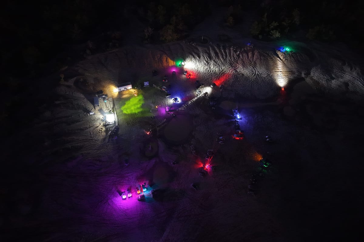
Badlands Offroad Park
Views only a drone can capture.
aerial
Snake RZR Aerial
Aerial footage of an off-road RZR run — the kind of terrain coverage only a drone can deliver.
aerial

Whitetail Buck
The animal we're most often called to find. Thermal imaging locates them even in the thickest cover.
wildlife

Livestock from Above
Aerial livestock search — covering hundreds of acres in a single flight to locate escaped animals.
wildlife

Field Grid Survey
Orthomosaic mapping of agricultural fields — precise, georeferenced, and ready for analysis.
mapping

Construction Site Survey
Pre-construction aerial documentation — progress tracking and volume calculations from above.
mapping

Infrared Wildlife Detection
Trail cam thermal imaging — the same technology we use from the air, showing how clearly animals appear on thermal.
thermal